 עברית
עבריתTravelers during the Passover holiday are advised to check here for restaurants and cafes that are open during the holiday.
Refreshing Water Trips

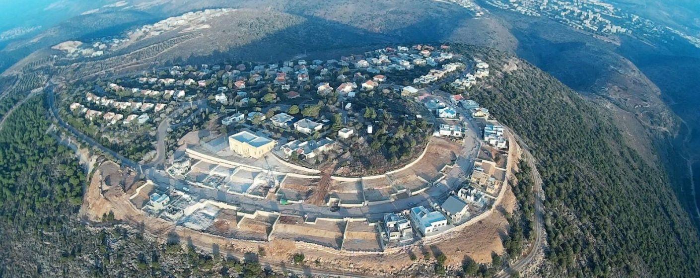
Rocks Park & Sne Mountain Reserve

The Sne Mountain Reserve is a small green reserve along which unique rocks made from the sediments of the ancient sea are scattered around. The rocks can be found in a “pancake” formation which resembles a stack of pancakes or pita bread. In the past, the mountain was called Susin after the family that lived there and controlled all its surroundings. After the establishment of the state of Israel, the name of the mountain was changed to “Sne.” Mediterranean forest, oaks, willows, medicinal birch, noble tree, small lily blossoms in the fall, daffodils and ferns in the winter, sedums and their leaves in the spring, and many other trees and flowers characterize the nature of the beautiful reserve.
In the heart of the reserve, there is an accumulation of rocks, paths, and places to sit, this area is called the “Rocks Park” and is accessible to the disabled and strollers.
We will start the route with a view from the surface above the rocks. (Write in Waze: Kisra-Sumei Rocks Park). Park on the side of the road and approach the observation point. The view is spectacular and you can see the green forest of the reserve and a rainbow of Galilean villages and landscapes from Tefen to Meron.
From the observation point follow the path to the reserve, follow the path markings between the trees of the natural forest and the beautiful rocks. After you visit the rock area, you can go back up or continue the route in the forest until you reach La’agat Basade and back, or leave your car at the endpoint.
Route Length: 3 km
Difficulty Level: easy to medium depending on the route chosen.
Recommendations in the Area: Hadaral’e Restaurant — romantic, kosher restaurant overlooking the Monfort Lake, Noalush — bakery, deli, and restaurant on the road connecting Tarshiha and Kfar Vradim, Buza — ice cream parlor & visitor center in Tarshiha, Aluma Restaurant — Galilean bistro in Tarshiha.
Cave of the Reclusive Monk — Karmit Arbel

A blue-marked path with amazing landscape views leads from the barns at the edge of the village of Pelekh to the Druze Monk’s Cave.
You will carefully climb high ladders to reach the cave, which is a narrow hole with a saucer of water.
According to tradition, this is the cave where the Druze monk Sheikh Ali Fares secluded himself for 46 days in the middle of the 18th century and became one of the most revered Druze saints. His grave is in the village of Julis (not far from there Sheikh Amin Tarif, the revered leader of the Druze in the 20th century, is also buried). You can go down the route (not long, but intended for those who are used to hiking and have stability on the ground) or arrive from the west, from the Yarka area (by car).
The entrance is on a marked path at the foot of the large barn. You have to pass through a pipe (a large water carrier). For those who have chosen a hiking trip for those who love walking, you can continue with the route towards the Pigeon Cave (which is not only impressive in its size and the population of bats that can be seen there but is also one of the most famous in the world in terms of prehistoric archaeological finds), climb (or bypass) Mount Carmel and finish at the Gilon Junction.
A beautiful, blooming route, full of interesting surprises and impressive views!
A route with a medium level of difficulty for hikers.
There is a possibility of a short route when arriving at the cave from the direction of Yarka.
Recommendations in the Area: Kishor Winery — Visitor Center in Kishorit, Stern Winery in Kibbutz Tuval (by prior arrangement), Tin Time — a design studio using recycled materials in Gilon (you can order a workshop by prior arrangement), Noor Restaurant — a Druze restaurant in Julis.
HaSolelim Forest Reserve & Reish Lakish — Ofek Ron Carmel

Fun and easy route for the whole family, with a magical forest, wonderful views, and one ancient and intriguing tomb…
About the Trail:
We start with beautiful picnic tables in the shade of oak trees. Next to them, you can visit the grave of Rabbi Judah Nesi’ah, the grandson of Rabbi Judah haNasi who signed the Mishnah in the nearby Tzipori. From there, go down a beautiful path next to olive trees and connect to the path to the Hill of Reish Lakish, named after a Jewish sage who was also a gladiator in the Roman amphitheatre. From the hill, there is a spectacular view of the Netufa Valley and Mount Turan. You can take a walk in the beautiful tangled pine forest, have a picnic or coffee, and return almost the same way. If you want to extend the route, you can jump vehicles, start the route from the Bedouin Warrior Monument, and end at the tomb of Rabbi Judah Nesi’ah. Enjoy!
Difficulty Level: Easy-Medium. Suitable for the whole family.
Directions: Waze – Rabbi Judah Nesi’ah’s Tomb.
Recommendations in the Area: Ofir Farm — family winery, visitor center, and apiary in Alon HaGalil, Galilean Madafa — traditional Bedouin accommodation in Ka’abiyye, Kamah Gallery & Cafe in Kibbutz Harduf, and the Boacha Yodfat Complex
Path Surrounding Eshhar — Eitan Omer
A beautiful Galilean route.
We will start the route from the gate of the village of Eshhar and continue on the path that surrounds the mountain. It begins at the Shepherds Trail, from which the views of the Sakhnin Valley, decorated with vineyards, are visible to the south. The road moves at an angle, so every few minutes the scenery changes.
We will stop at the beautiful Bustan Park, on the edge of Eshhar, a village with a unique population structure in which religious, secular life, and all the continuum in between.
We will continue along the Family Path, facing north. At some point, the sharp bend of Nahal Hilazon, the largest of the streams in the region, will be revealed to us. This is a fascinating geological phenomenon. Beyond it lies the city of Karmiel, the Beit HaKerem Valley, and the cliff of Zorim, which forms the border between the lower and upper Galilee. The green fills the eye, the blossoms are still here and the spectacular views are among the most impressive in Israel.
The path continues against the backdrop of the wonderful landscape and forest. From here you can end the walk and enter the gate leading to the new neighborhood of Eshhar.
The good walkers will be able to continue walking on a path marked in black that continues to wind around the ridge, reaches the edge of the Bedouin village of Arab Al Naim, and descends to the Sakhnin stream gorge. And from here — a short and steep ascent to the village of Yuvalim.
About the Route: Path surrounding Eshhar (Shepards Path and Family Path) — 3 km on a slightly difficult route, with moderate ups and downs, for families who like to walk (suitable for children 8 years and older). The long path to Yuvalim is about 9 km.
Important Note: you must verify beforehand with the village secretariat that the gate to the new neighborhood is open. If necessary, they will open it for you. Phone: 04-6744779
Recommendations in the Area: Boacha Yodfat Complex, Organic Lotem Winery — visitor center and restaurant in Kibbutz Lotem
The Olive Trees in Deir Hanna ― Amnon Gofer

The photo is from the Deir Hanna website.
You have never seen olive trees like these in your life!
You can get to them in two ways. The first is for those who like to get straight to the point, and the second is for those who are willing to walk a bit on the Galilean trails. Both options are suitable for the whole family.
Let’s start with the “lazy ones” in the group. First, you have to get to the village of Deir Hanna, which is located in the Sakhnin Valley. In the center of this lovely village stands a fortress from the Ottoman period, from the time of Daher al-Umar, a Bedouin ruler who rebelled against Turkish rule, took over the entire Galilee and built fortresses there for the most part.
Deir Hanna sits mostly on the ridge north of the road. Opposite it, mostly among olive groves, is a spring called “Ein Nojima” on the map. An easy road winds up the mountain to the spring, and there, next to it, you have to park your car.
Now all you need to do is climb 100 meters above the spring (on the path), discover a hidden dirt road on the right that leads into an olive grove (the sign is two iron posts that prevent entry to the grove), walk among the olives and see the “phenomenon” on the left – huge olive trees whose trunks have split and at least six people need to gather to surround them.
How to get there?
Route 805 from the east or west. Don’t be shy about asking the locals!
For Walking Lovers – climb (with the car), to the mountain village, leave your car at the entrance, cross the village along its length and at the end you will come to a small patch and a sign directing you to “Mabad Netufa”, which is worth a trip in itself. You can go down the trail (yes, completely surrender to the trail), and at the end of this trail (marked black and white) you will reach the long-awaited spring and the giant olive trees 100 meters ahead.
How do you return?
Either climb the same way you came, or leave one vehicle in Deir Hanna.
Important note – do not cross a flooded isolated road after noon.
Recommendations in the Area: Bahar ― a hospitality space for groups and families in Hararit, the Boacha Yodfat Complex, Lotem Organic Winery ― a visitor center and restaurant in Kibbutz Lotem
