


10/22 Thursday 18:00
Hiking Trail in the Mount Meron Area
נחל צלמון
 Unrestricted Parking
The Tzalmon River, which flows in the northern part of the Lower Galilee, is a light and short trail in nature. The trail flows near or in water and can be completed without too much effort. The route is not circular, but walking back and forth is relatively short.
Fed by the year-round flow of Ein Tzalmon, Nahal Tzalmon (Tzalmon River) carves a fertile valley between the Upper and Lower Galilee before continuing toward the Sea of Galilee. Dense riparian foliage lines the banks, including river red gums, plane trees, oleanders, and giant reeds.
Along the stream path, hikers will encounter impressive stone ruins of Ottoman-era water-powered flour mills, ancient aqueducts, and historic stone arches, highlighting the river’s historical role as a vital industrial and agricultural lifeline for surrounding Galilean villages.
The trail offers a paved to semi-paved, low-difficulty walking path, making it exceptionally family-friendly and accessible for young hikers. With shallow wading pools and abundant tree canopy shade, it serves as a cool summer retreat. The main trail section runs between Nahal Tzalmon National Park near Ras al-Ein and Moshav Hazorim, offering convenient picnic spots and clear, gentle waters year-round.
12 results
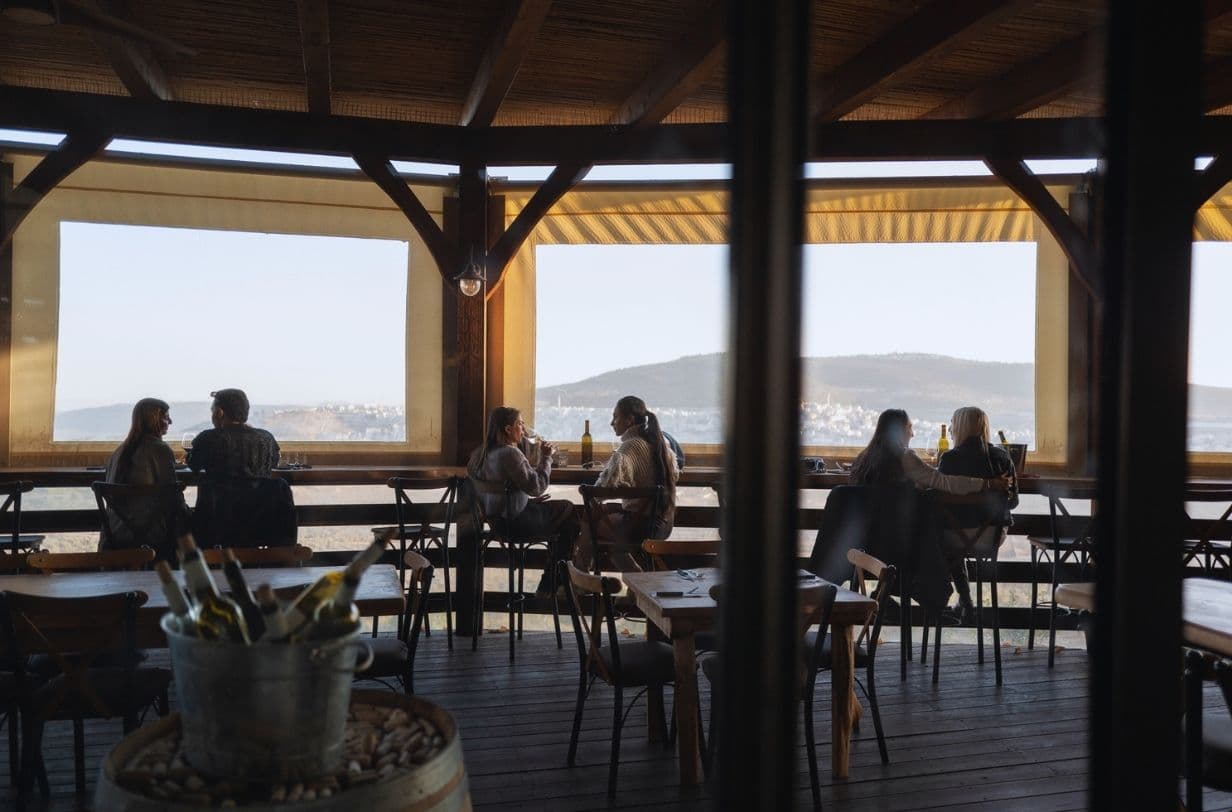

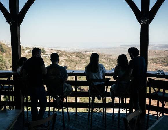
Kibbutz Lotem


Kibbutz Lotem
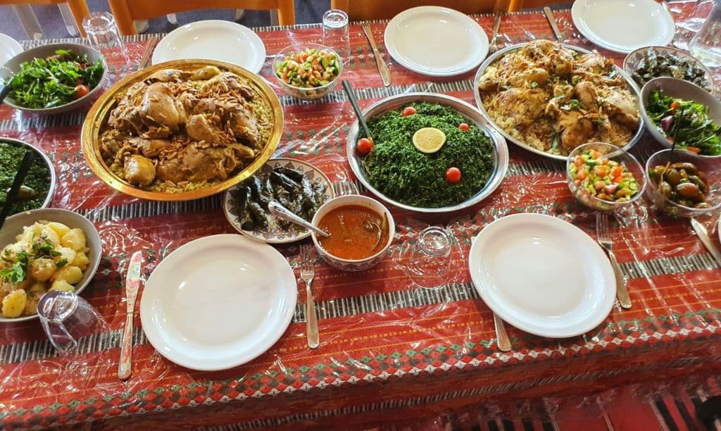
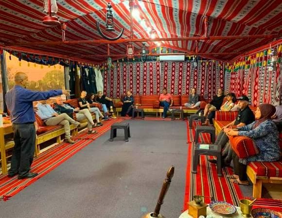
Al E'in Tent, Kamanneh